G-ECO Remote Sensing Lab
Anita Simic Milas is a professor at Bowling Green State University. She earned her M.Sc. and Ph.D. degrees in remote sensing from the University of Toronto. Prof. Simic Milas has served as a session and senior lecturer at the University of Toronto, Toronto Metropolitan University, the University of Victoria in Canada, and Wuhan University in China. She has extensive experience in environmental engineering and worked as a scientist at the Canada Centre for Remote Sensing. Additionally, she found the SPatial LITeracy (SPLIT) Remote Sensing program, an international educational initiative for early-career professionals and graduate students.
Her research focuses on remote sensing applications in vegetation science—particularly in forestry and agriculture—as well as hydrology and water quality. She specializes in the use of optical remote sensing and radiative transfer models, including satellite and airborne/drone data, and applies machine learning and data integration techniques. Prof. Simic Milas is actively involved with AmericaView and has been the Editor of the Drones section of the International Journal of Remote Sensing (IJRS) since 2018.
Graduate students under the supervision of Prof. Anita Simic Milas typically find employment in remote sensing or data science within 2-3 months of completing their graduate program.
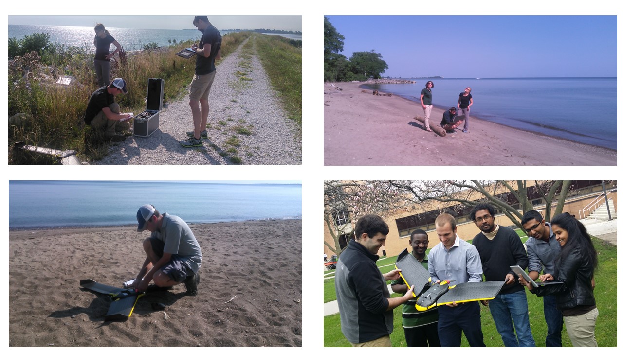
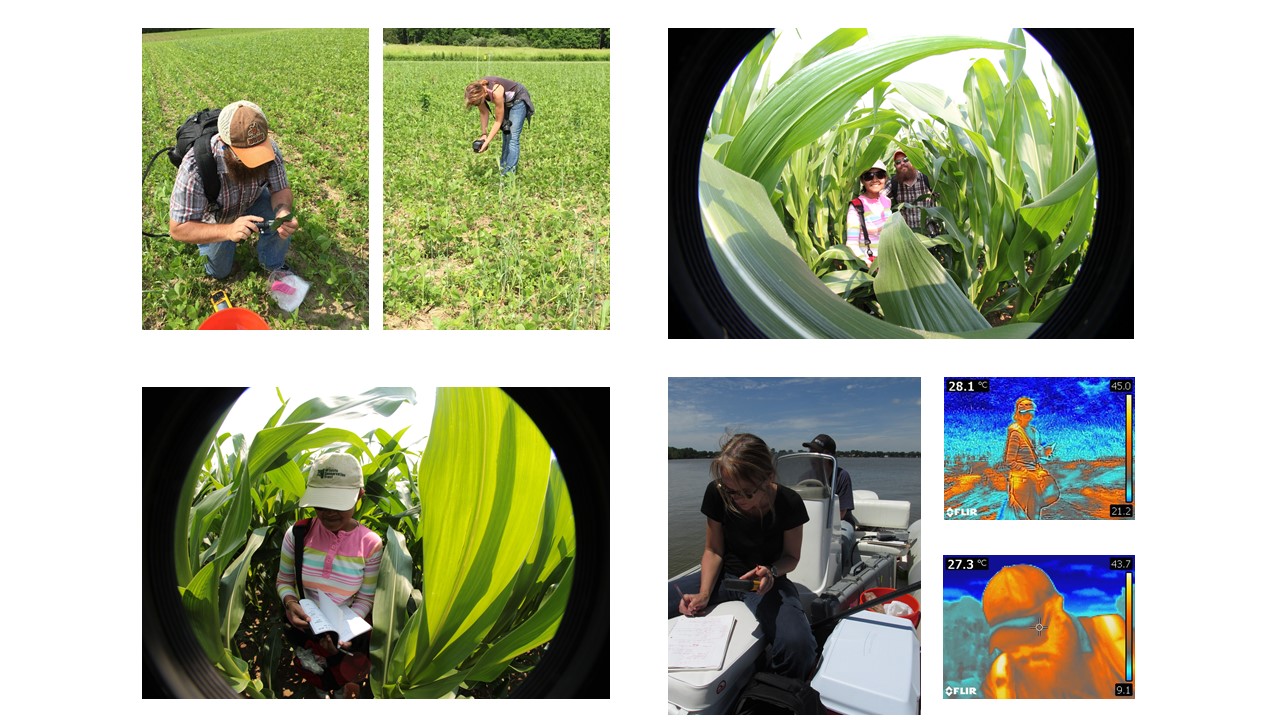
Both graduate and undergraduate students use field, satellite, and airborne/UAV (unmanned aerial vehicle, also known as drone) data to tackle environmental, geographical, biological, and geological issues.

Students gain expertise in both field data collection and computer lab research. In the G-ECO lab, graduate and undergraduate students monitor various natural and human-induced phenomena, including the status of forests, crops, rocks, water (e.g., Lake Erie) sediments and algal blooms, carbon budgets, and land use changes.

Students collaborate with organizations such as NASA, the Ohio Department of Natural Resources (ODNR), Michigan State University, and the University of Toronto. They are also members of the Rapidlasso (LiDAR), BEPS, and LTER groups. Students utilize a range of airborne/UAS/UAV and satellite data, including Landsat, NASA Glenn HSI (hyperspectral), Sentinel, and MODIS.
Through the SPatial LITeracy (SPLIT) Remote Sensing program, Prof. Simic Milas organizes international professional summer school events. This intensive 6-day program provides advanced insights into recent remote sensing techniques, featuring hands-on sessions and lectures from leading international professors and researchers. For more information, visit SPLIT Remote Sensing.
In 2022, the US-based SPatial LITeracy (SPLIT) Geoscience program received funding from the NSF. For details, visit SPLIT Geoscience.
Updated: 08/22/2024 07:23PM
