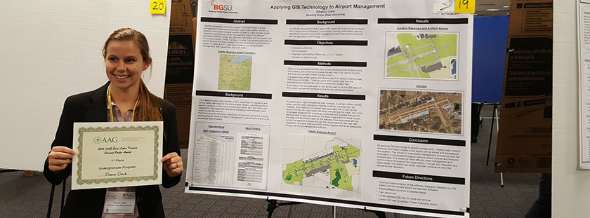
Applying GIS Technology to Airport Management

Ellie Clark, senior Geography major, won first prize for Best Undergraduate Poster at the joint West Lakes/East Lakes Division of the American Association of Geographers meeting at Northern Michigan University in Marquette. The title of her poster was “Applying GIS Technology to Airport Management.” Clark is an undergraduate research assistant at the Center for Regional Development (CRD), and the project is a collaboration between Clark and Dr. Russell Mills, a research fellow in the department of Political Science who is also at the CRD.
Clark applied geographic information system (GIS) technology to airport management in response to the recent push in the aviation industry to transition from paper to digital records. In order to make the task of self-inspections and general airport management duties more efficient, she gathered both spatial and non-spatial data for Toledo Express Airport. She integrated and re-developed the newly-created GIS with the airport’s current software system to create a 3-in-1 map-based program consisting of asset management, self-inspections and work orders.
Updated: 03/06/2019 01:16PM
